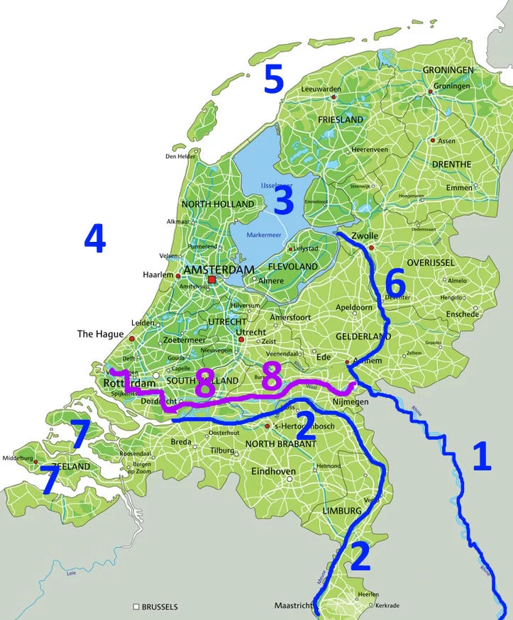
Dikes, polders In the Netherlands, there are areas that used to be underwater but are now land. These areas are called polders. They are surrounded by dikes, which are like walls to keep the water out. The water is then pumped away into canals around the polders. The biggest polder in the Netherlands used to be part of a large lake called the IJsselmeer. The IJsselmeer used to be connected to the sea, but now there is a dike that separates it from the North Sea.
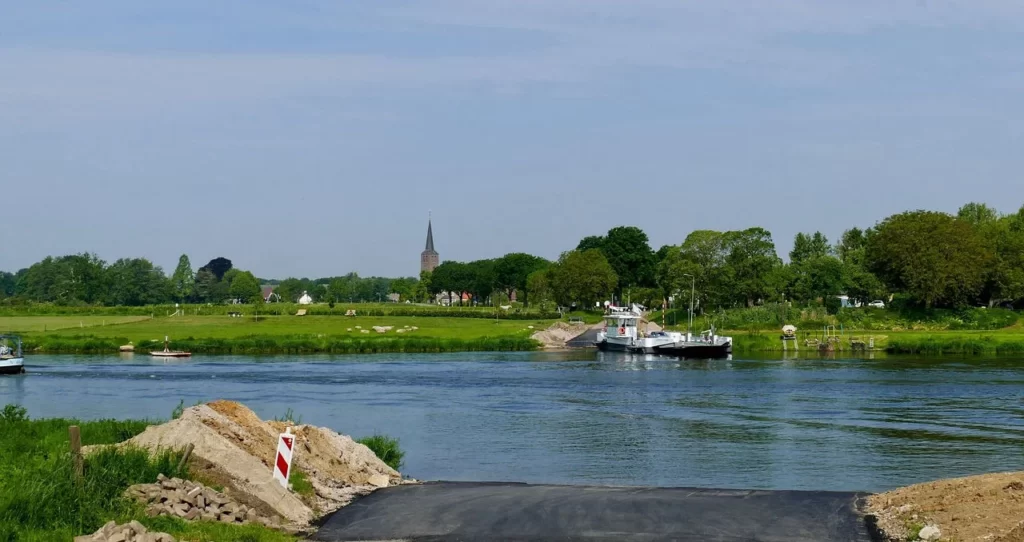
On the map, you can also see some rivers like the Rhine, Waal, Maas, and IJssel. These rivers are used for transportation by boats.
When you look at the Netherlands, one thing you’ll notice is that it is very flat. There are only hills in one region called Limburg, but there are no mountains in the country. The highest point in the Netherlands is in the southern part, and it’s just over 300 meters high.
The province of Zeeland is protected from the sea by big walls called dikes. In 1953, there was a terrible disaster in Zeeland. The area got flooded, and nearly 2000 people drowned. Because there are many places with water in the Netherlands, children are taught how to swim from a young age.